 Standard Operating Procedures
Configure GIS SOP
PURPOSE:
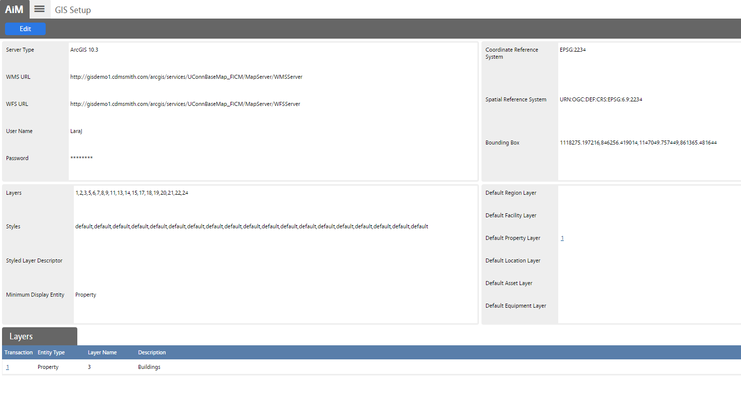
The GIS Setup Screen establishes the link between the key values of the GIS server and AiM. The GIS Setup Screen also associates the GIS viewing capabilities to the existing external GIS infrastructure. The system uses a standard web service connection (i.e., WMS, WFS) to link the two systems.
* Note: GIS layers are associated to AiM entities (i.e., region, facility, property, location, asset, and equipment).
PROCEDURE:
| 1. Navigate to the System Administration module on the main menu. | 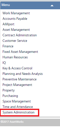 |
| 2. Navigate to the System Administration screen and click the link to GIS Setup. |  |
| 3. The GIS Setup screen shows the current information stored in the system. Click Edit to make changes. | 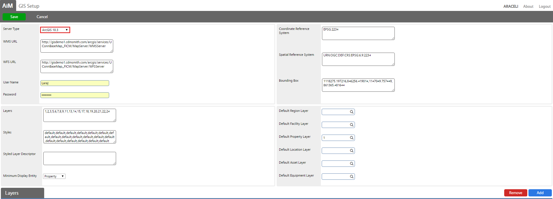 |
| 4. Click Add to add layers to each system entity and click Done. | 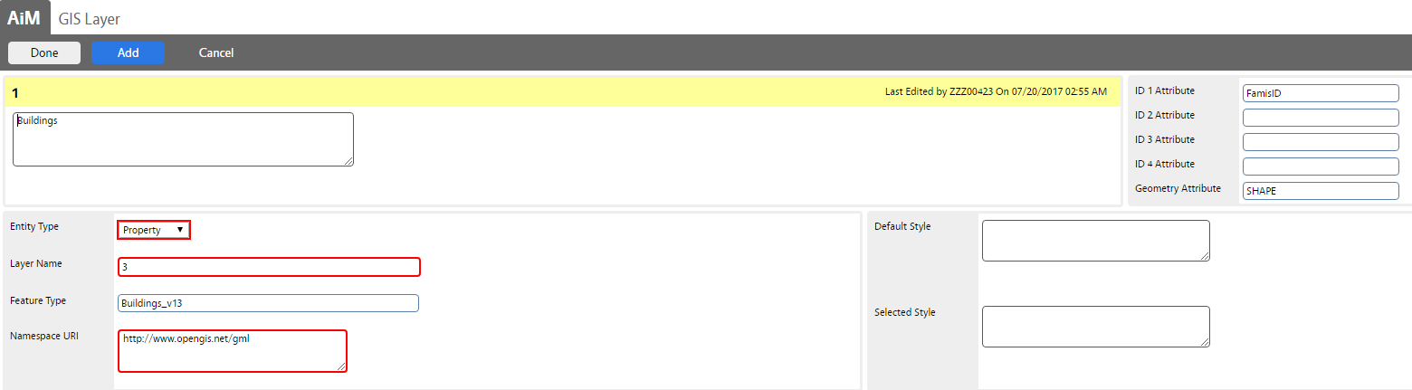 |
| 5. Click Save to save changes on the new setup. | 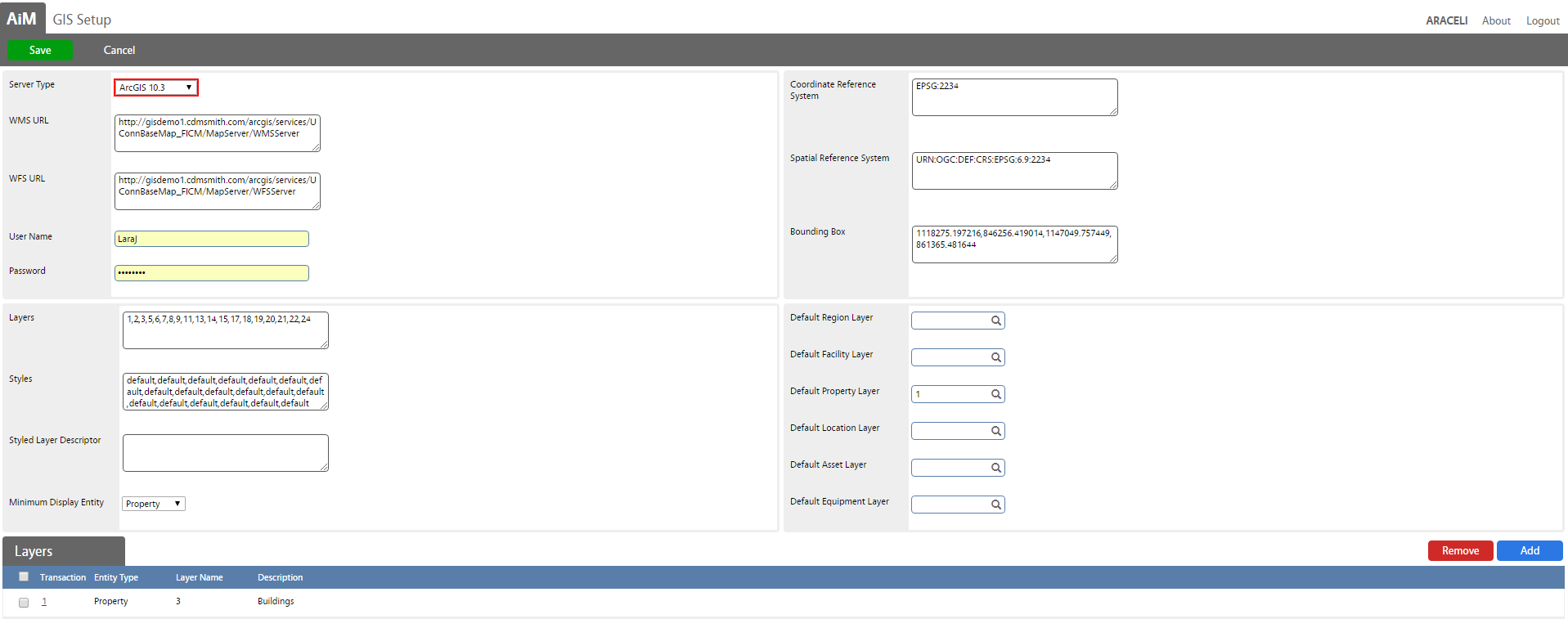
|
ROLES USED:
- System Administrator:
System Administrator is responsible for configuring GIS screen.
Return to System Administration Module SOP